To take part in discussions on talkSFU, please apply for membership (SFU email id required).
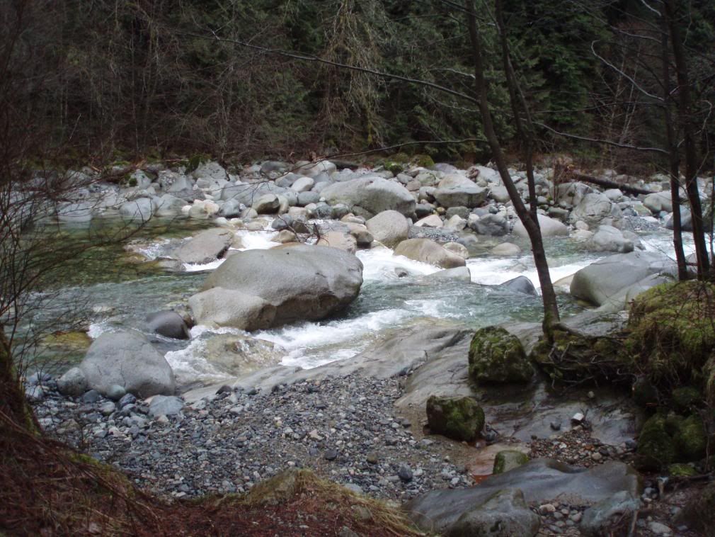
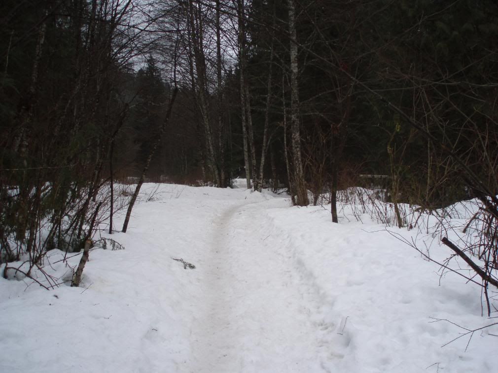
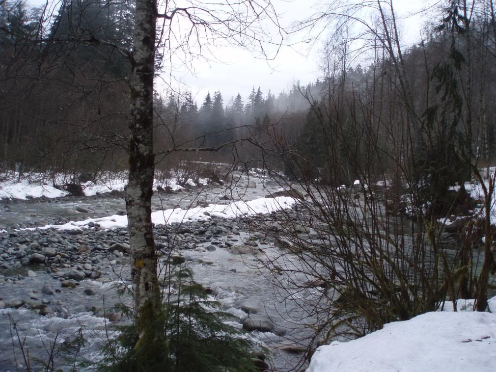
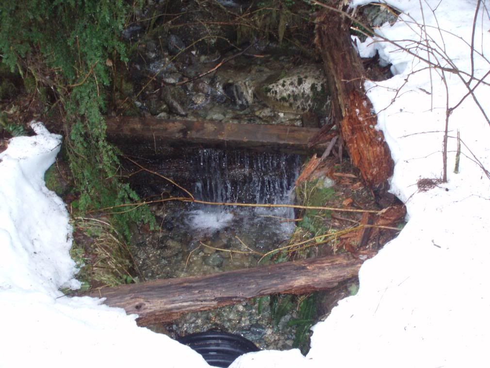
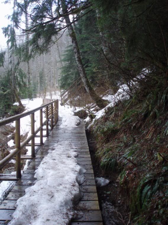
Lynn Canyon Head Waters (pic heavy)
just wanted to share some photos of my hobby.
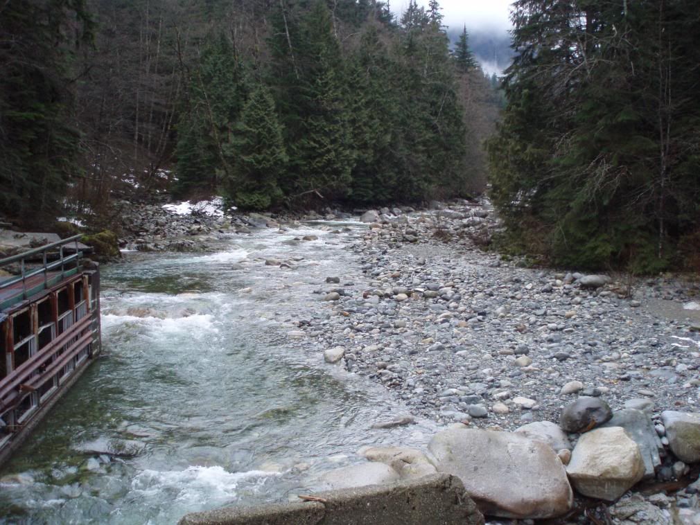
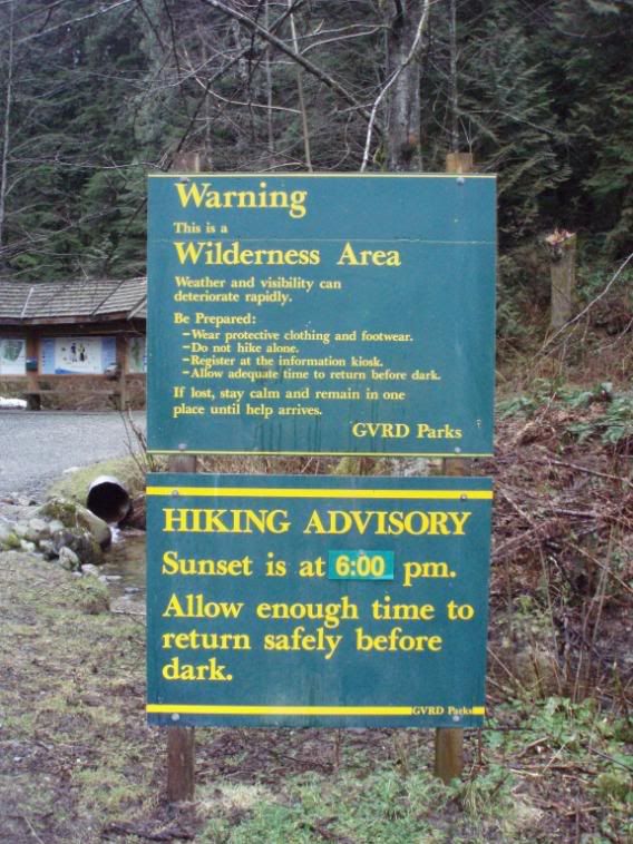
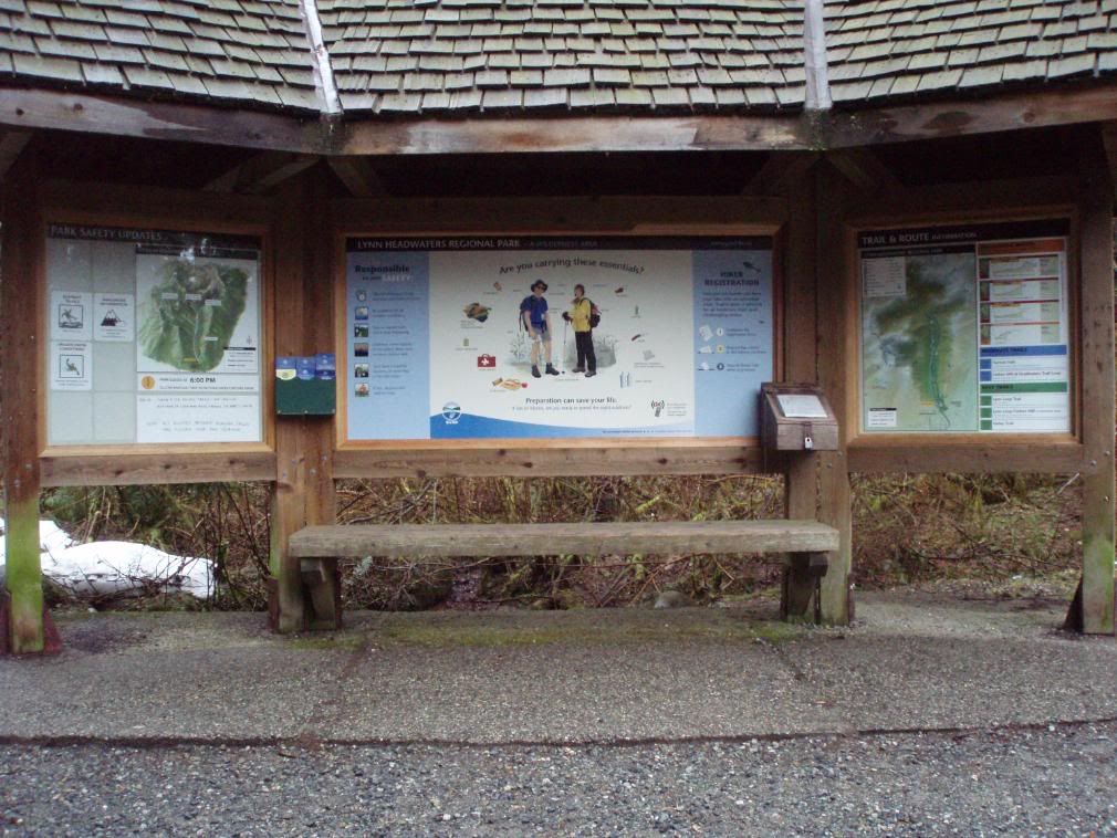
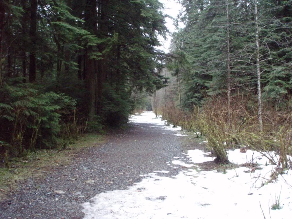
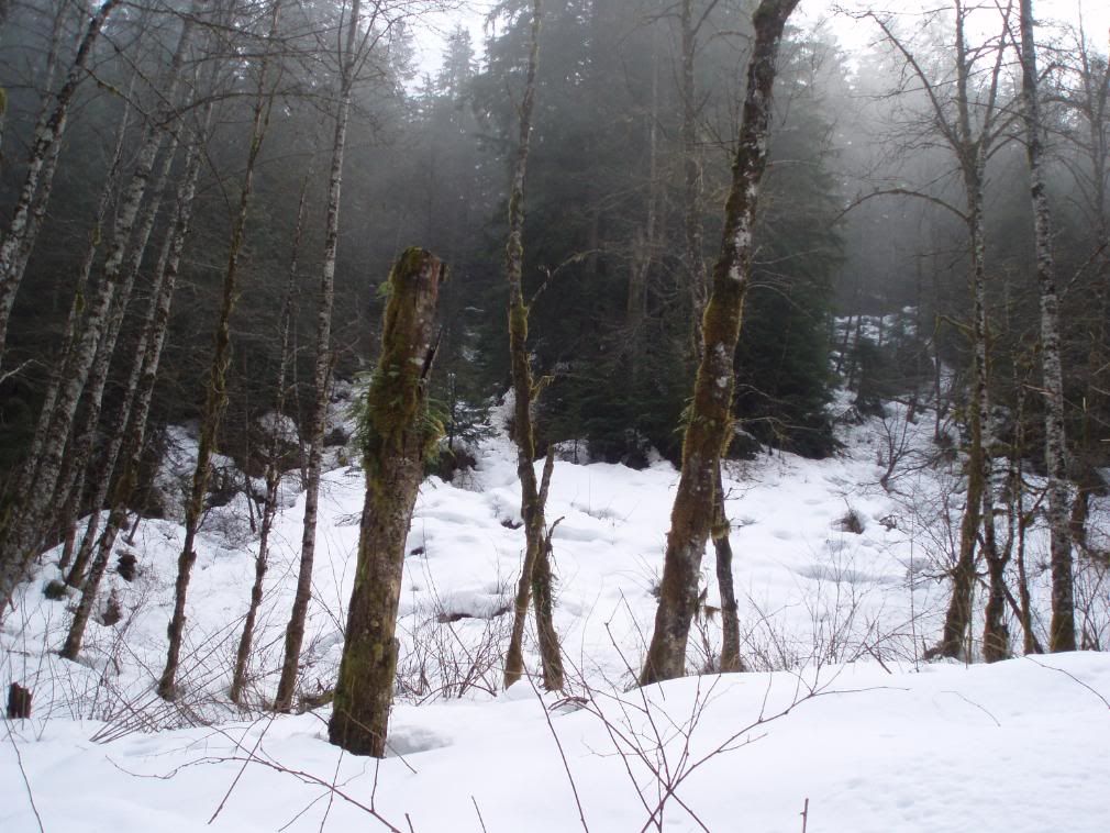
this is a hike i did last weekend at Lynn Canyon Head Waters in the north shore region.
it is accessible from highway 1 exit 19. follow lynn valley road all the way to the end and you will reach the park.
heres the photos enjoy =)
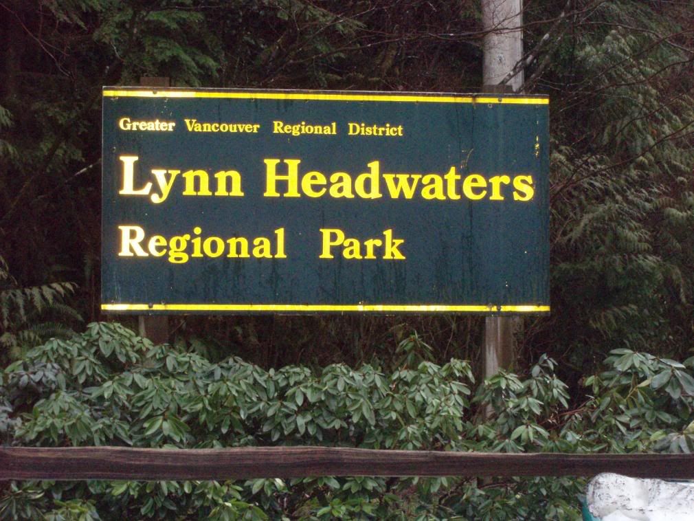
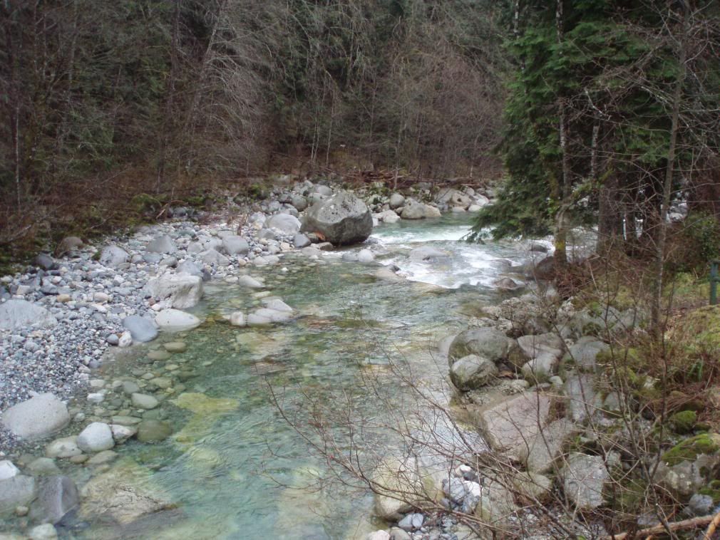
this is a hike i did last weekend at Lynn Canyon Head Waters in the north shore region.
it is accessible from highway 1 exit 19. follow lynn valley road all the way to the end and you will reach the park.
heres the photos enjoy =)
Comments
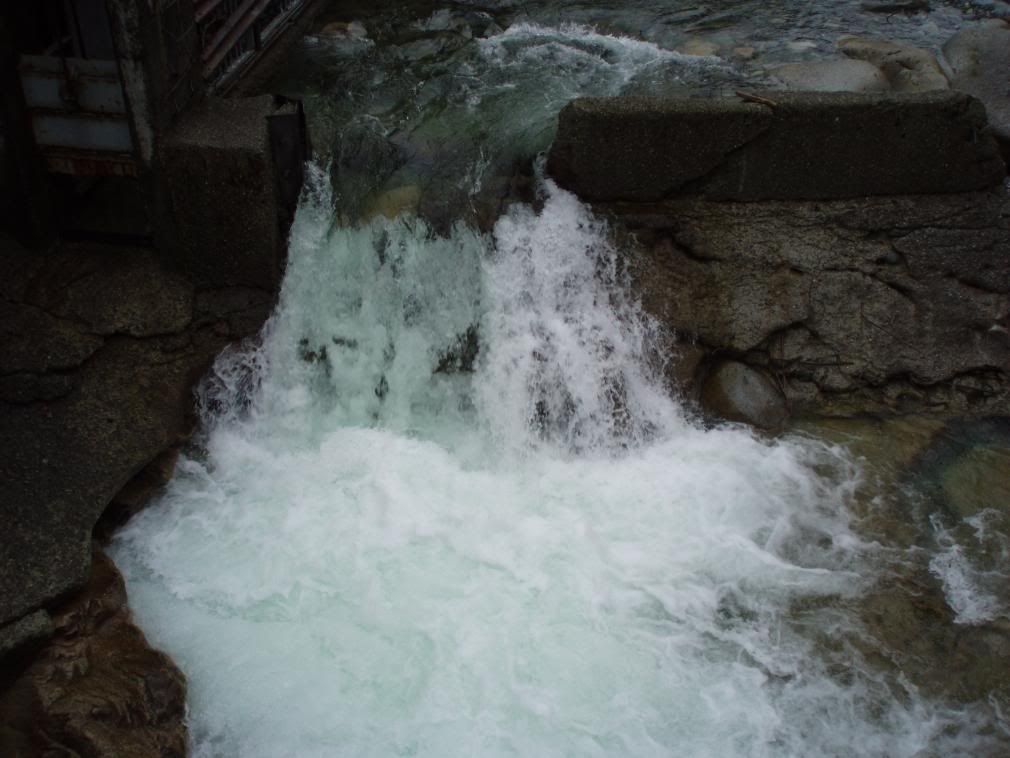
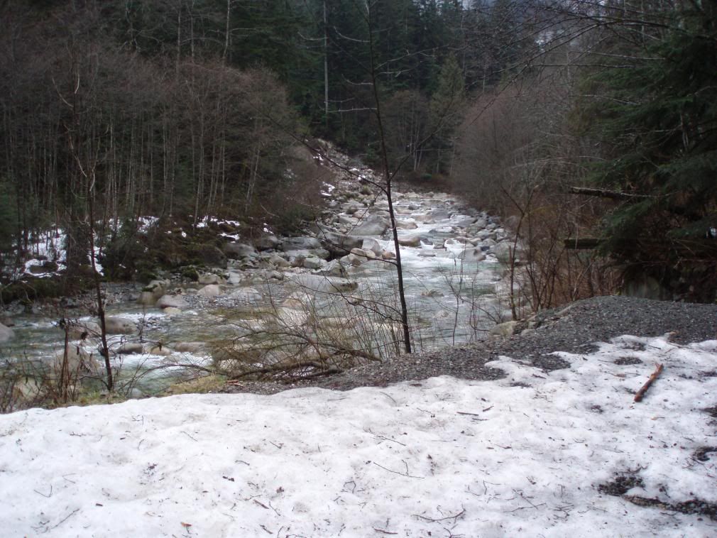
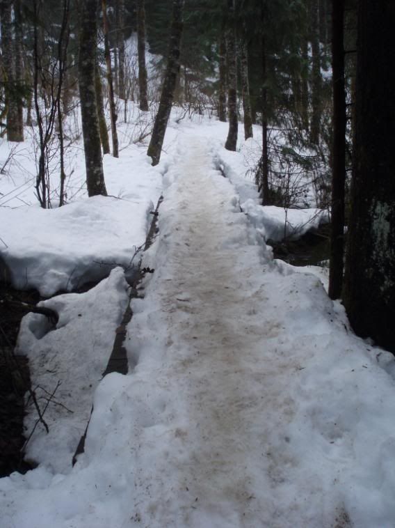
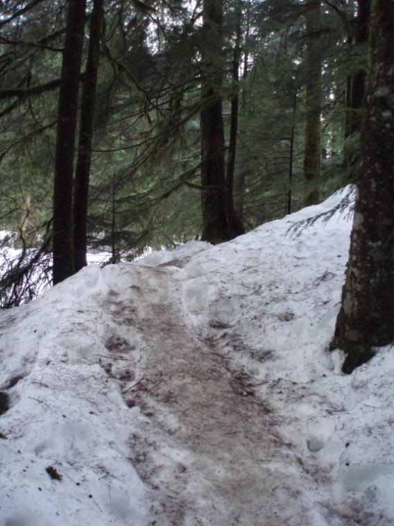
the trail is approximately 7 kilometers up to norman falls.
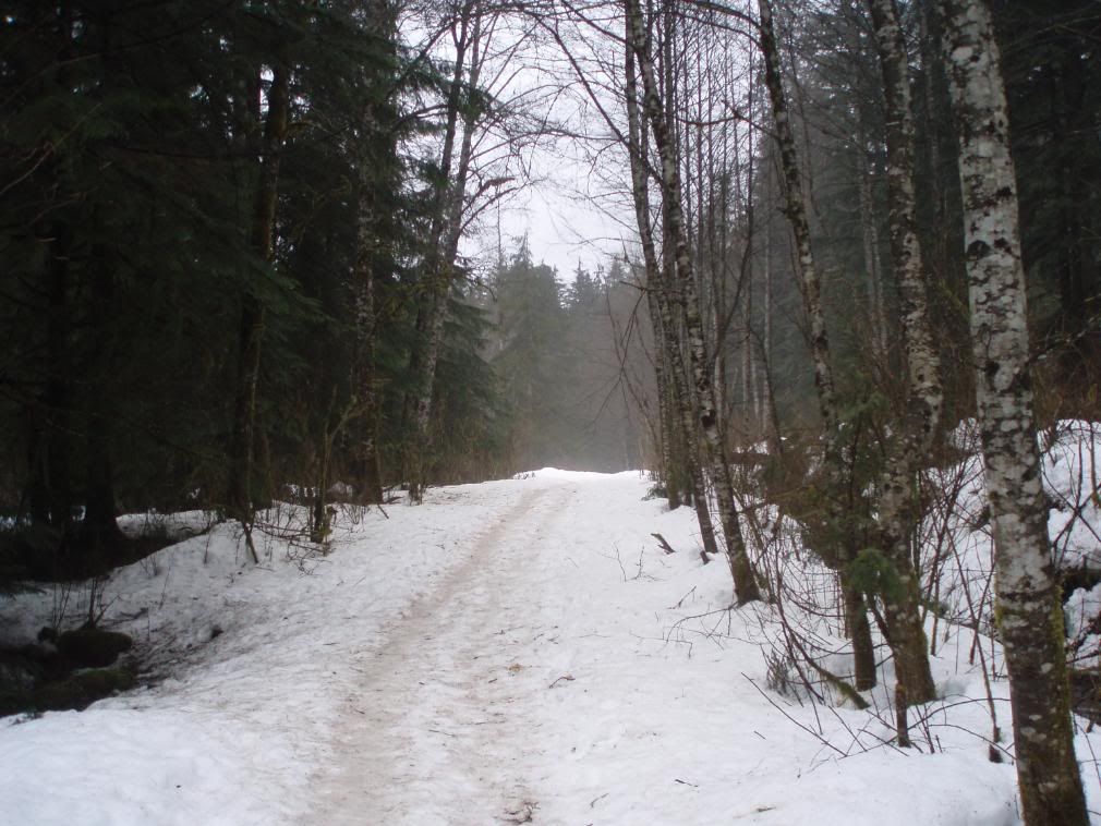
the trail structure is linear and requires approximately 3-4 hours to complete (this leaves plenty of time for snacks, lunch and photos).
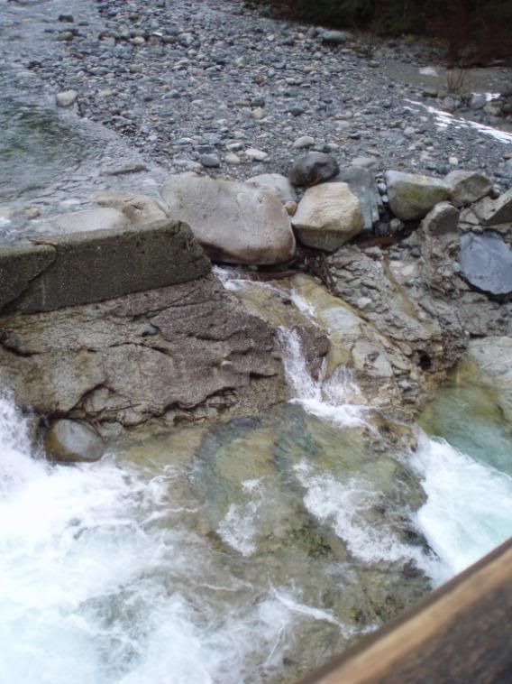
i wish i had my winter equipment with me, should of had crampons, gaiters and hiking poles as well as water proof gloves.
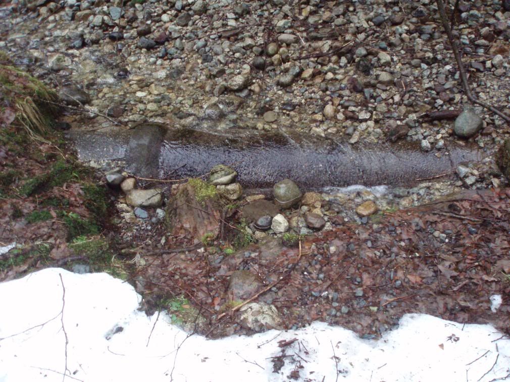
still made it up though slipping and sliding my way. there is alot of ice on the northern sections of the trail past the 1.7km mark.
past the 2.5km mark there was approximately 4-5 feet of snow on each side of me with a narrow path in the middle. i had to put one foot infront of the other inorder to pass some sections of the trail.
i'll redo this trail this weekend and make it to norman falls/seymour connector. will through some photos up again later.
cheers
I take my dog up Quarry rock a lot since it's pretty close to my house. That's only about a 1h round trip though.
http://cultivatingboredom.com/images/quarryrock/DSC02514.JPG
http://cultivatingboredom.com/images/quarryrock/DSC02520.JPG
http://cultivatingboredom.com/images/quarryrock/DSC02504.JPG
http://cultivatingboredom.com/images/quarryrock/DSC02530.JPG
edit: I just linked the pictures instead of posting them 'cause they're huge.
better then nothing :)
I don't really hike but I do the grouse grind in the summer for cardiovascular fitness. It's nice to know of some other trails in the GVA.